
01 — FUSE
Every layer, one coordinate system.
Offline maps, orthomosaics, elevation, meshes, point clouds and issues snap into a single georeferenced scene. No re-projecting, no switching between tools.

Quadrion AI fuses everything a drone job produces into one georeferenced 3D scene with one timeline: models, point clouds, orthomosaics, offline maps, video and graded issues. On your Windows workstation, fully offline.
Offline maps, orthomosaics, elevation, meshes, point clouds and issues snap into a single georeferenced scene. No re-projecting, no switching between tools.
Every survey date becomes a slab on one timeline. Between 02 Mar and 13 Apr, 744 m³ left stockpile P01 and 256 m³ arrived at P02, measured surface to surface.
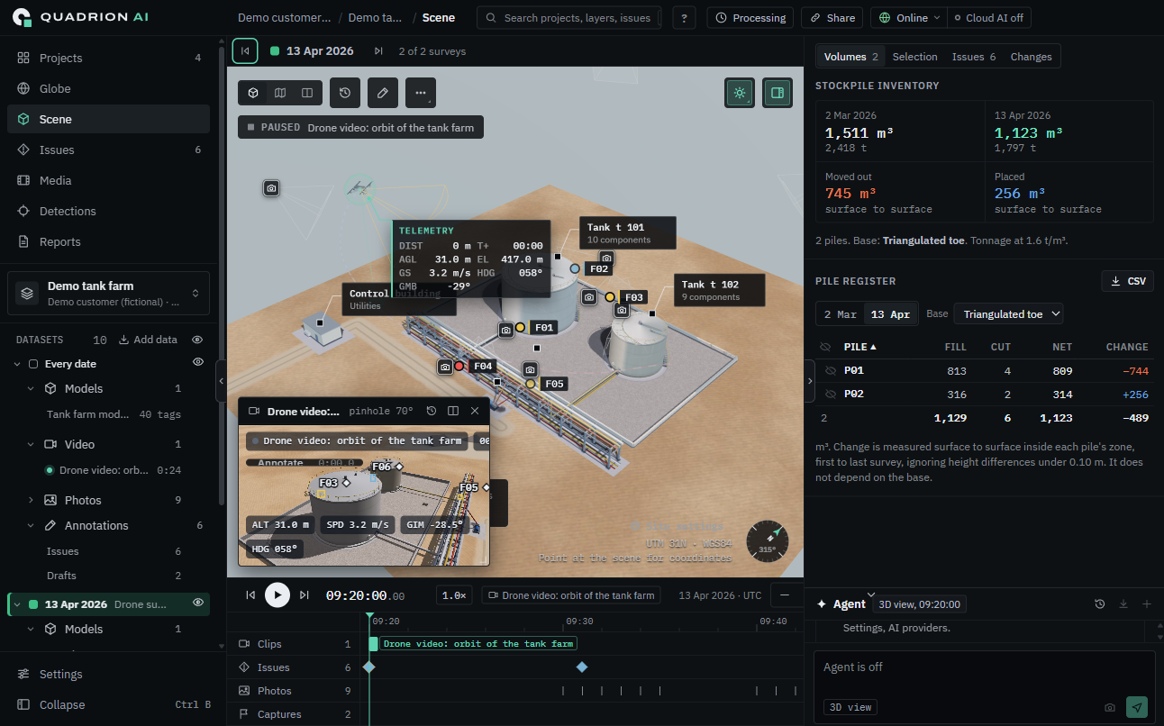
Drone video projected from the drone's own position, live telemetry, issue pins and stockpile volumes, together in a single offline workspace.
Every tool works on the same fused scene, so a finding, a frame of video and a volume change always point at the same place.
Video syncs to its flight log, then projects from the drone's own position. Every frame lands where it was shot.
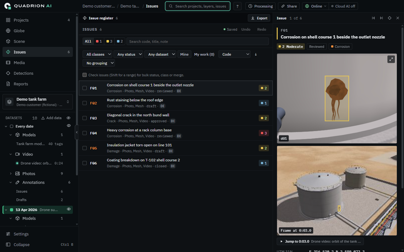
Pin an issue in 3D, grade its severity, and attach the photos and video frames that prove it.
Optional NVIDIA GPU processing for the same results.
Uses your own key. Every tool step waits for your approval, and every step can be undone.
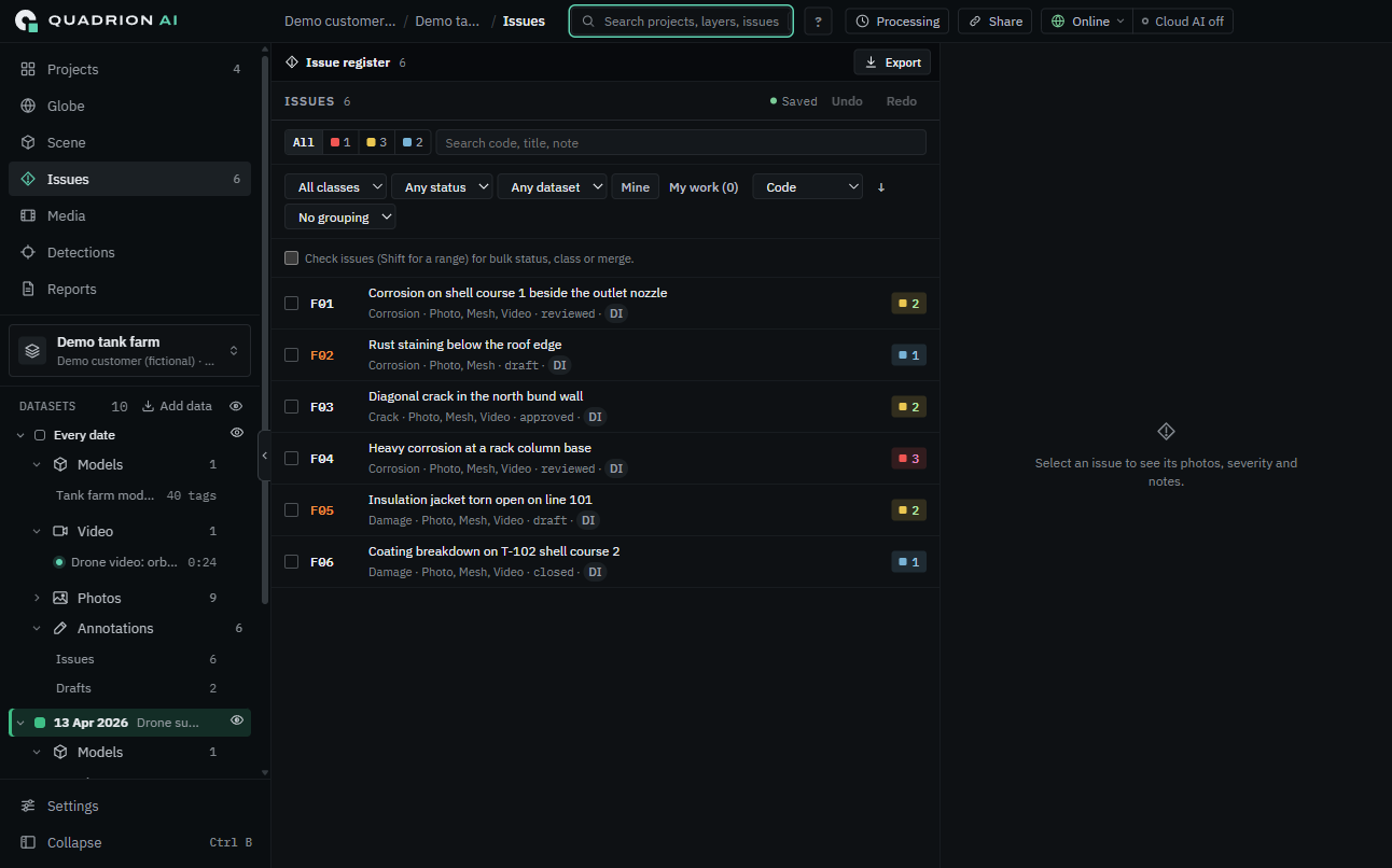
Filter by severity, class, status and survey date, then export straight into your report.
A read-only .aio package opens in the free Player.
Many of our customers work where the network is part of the threat model. Every layer, every tool and every date lives inside the box.
Maps, processing, measurement and reports all work with the cable unplugged.
Projects live on drives you control. Nothing is uploaded.
No sign-in to open a project, and nothing phones home.
The agent stays off until you switch it on with your own key.
See Quadrion on your own data, or send a client a package they can open for free.
THE PLAYER OPENS .AIO PACKAGES READ-ONLY · NO ACCOUNT NEEDED