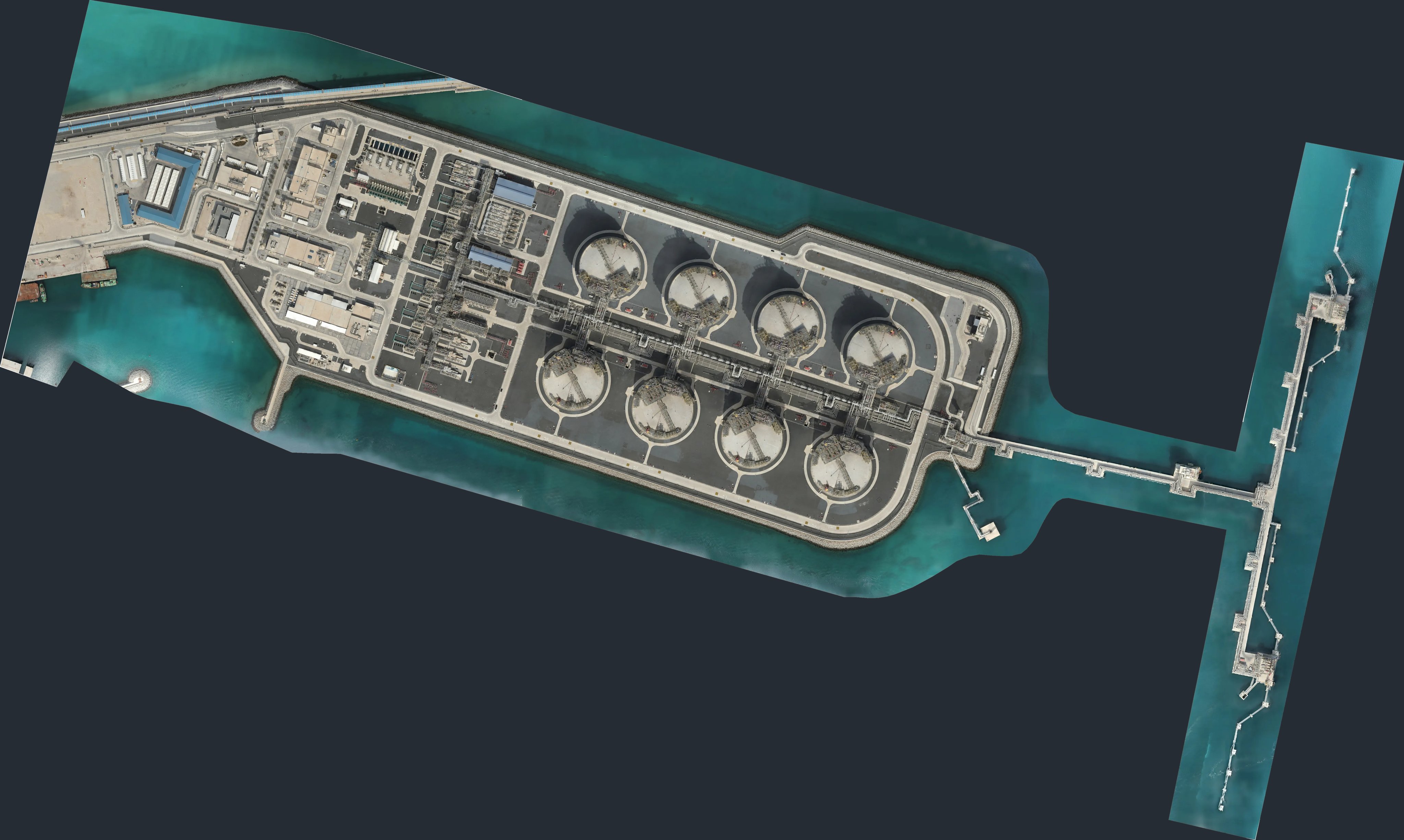
Tank terminal · photogrammetryStorage tank · LiDAR + photosFlare stack · photosStockpile · Survey 1 / 2
PERSPECTIVESTORAGE TANK · LIDAR + 6 FINDINGS
Offline 4D inspection workspace
Four dimensions.One view.
Quadrion AI fuses everything a drone job produces into one georeferenced 3D scene with one timeline. Every layer on this page is real survey data: a tank terminal, a storage tank, a flare stack and a stockpile yard.
The orthomosaic, a terrain model built from the photogrammetry cloud, the cloud itself and the engineering model snap into one georeferenced scene. No re-projecting, no switching tools.
Layers5 → 1
Site≈ 2.1 × 1.0 km
02 — STORAGE TANK INTERIOR
Slice the shell. Read the scan.
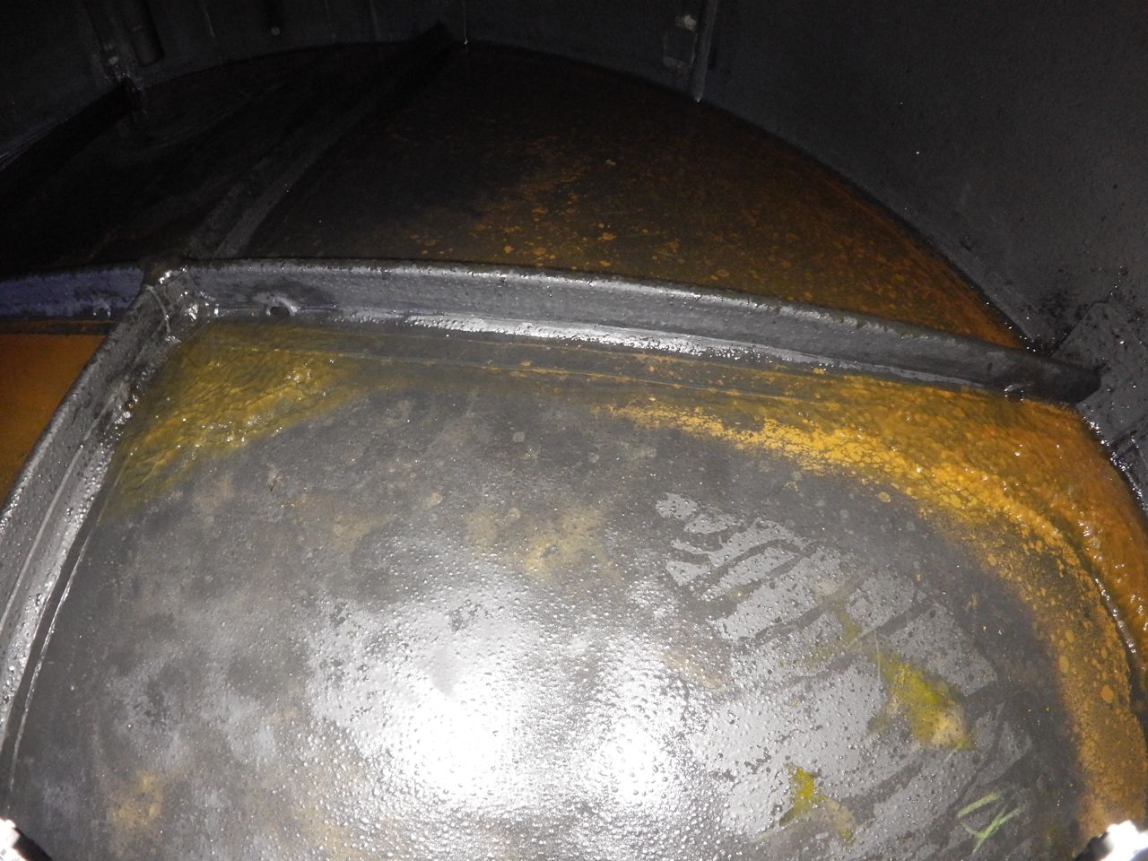
The interior LiDAR scan sits inside the engineering model, course by course. Findings are pinned where they were found and graded, each with the photo that proves it.
LiDAR280,000 pts · 2 cm
Findings6 · sev 3–5
03 — FLARE STACK, 80 M
Corrosion, mapped patch by patch.
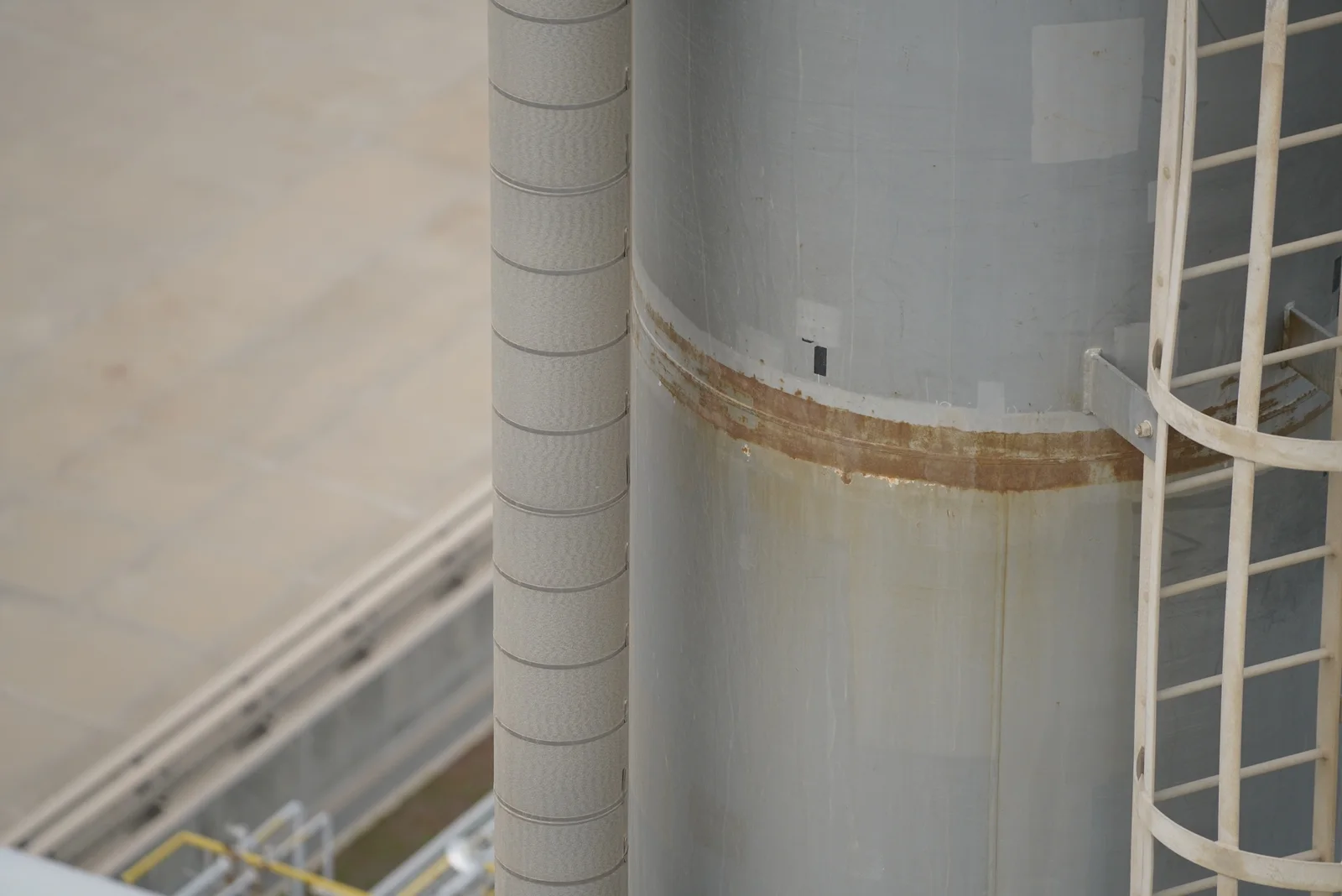
Corrosion is traced on the inspection photos, projected onto the textured model and graded. Every patch links back to the photo and the mask it came from.
Patches78 mapped
Grades77 moderate · 1 light
04 — STOCKPILE YARD
Time is the fourth dimension.
Two surveys, ten days apart, stack on one timeline. Fuse them and Quadrion measures what moved, surface to surface.
Stockpiled volume76,199 m³
Cut / fill−0 m³ / +0 m³
05 — ONE VIEW
Four assets. One timeline. One window.
Every survey becomes a slab on the same timeline. Then it all lives in one offline workspace.
LOCAL FRAME · METRES
X — · Z —
TANK TERMINAL · 5 LAYERS
STREAMING
01 — TANK TERMINAL
Every layer, one coordinate system.
Five real layers of one terminal fuse into a single georeferenced scene.
01 · ORTHOMOSAIC4096 × 2451 · 53 cm/px
02 · ELEVATIONfrom the cloud heights
03 · POINT CLOUD378,789 pts
04 · 3D MODELengineering model
05 · ASSET TAGSstorage tanks + jetty
02 — STORAGE TANK INTERIOR
Slice the shell. Read the scan.
The shell courses separate to reveal the 280,000-point interior LiDAR scan and six graded findings.
01 · OUTER SHELL3 courses + roof
02 · LIDAR INTERIOR280,000 pts · 2 cm
03 · FINDINGS6 · sev 3–5
03 — FLARE STACK, 80 M
Corrosion, mapped patch by patch.
78 corrosion patches projected onto the textured model, each linked to its photo and mask.
01 · TEXTURED MESH80 m
02 · CORROSION PATCHES78 · 77 moderate · 1 light
03 · PHOTO EVIDENCEphoto + class mask
04 — STOCKPILE YARD
Time is the fourth dimension.
Survey 1 and Survey 2, ten days apart, fused into one cut/fill surface.
STOCKPILED VOLUME76,199 → 63,402 m³
CUT−22,598 m³
FILL+1,227 m³
06 Capabilities
Built for the whole job, from flight to client hand-off.
Every tool works on the same fused scene, so a finding, a photo and a volume change always point at the same place.
CORROSION · FLARE STACK, 80 M
Every patch traced back to its photo
Corrosion is segmented on the inspection photos, graded by class, then mapped onto the model. Hover to hold the mask.