02.1Plan
Every dataset in one georeferenced scene.
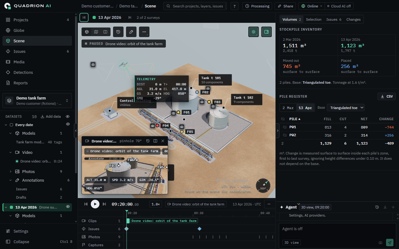
Models, point clouds, orthomosaics and offline maps load into a single coordinate frame. The tank farm in plan is the same tank farm in 3D, at the same coordinates, on the same timeline.
- 3D model
- Point cloud
- Orthomosaic
- Offline map
02.2Measure
Volumes that hold up at the next survey.
Stockpiles are measured surface to surface and compared across survey dates. Change is reported per pile, in cubic metres and tonnes, with the base method stated next to the number.
- Surface to surface
- Per pile
- m³ and tonnes
02.3Project
Video on the model.
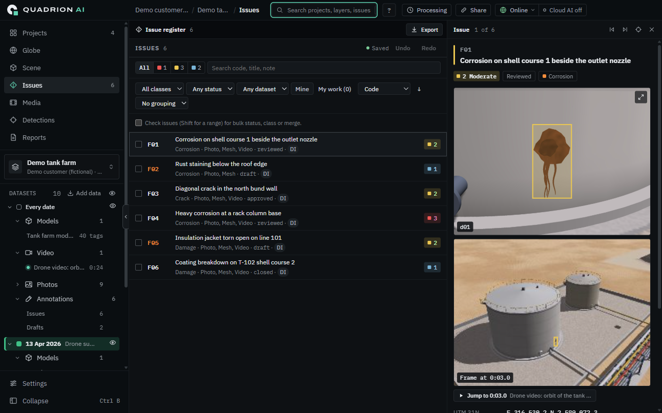
Drone video is synced to its flight log and projected onto the 3D model from the drone's own position. Pause on a frame and you are looking at the asset, in place, not at a clip.
- Synced to flight log
- Projected from drone pose
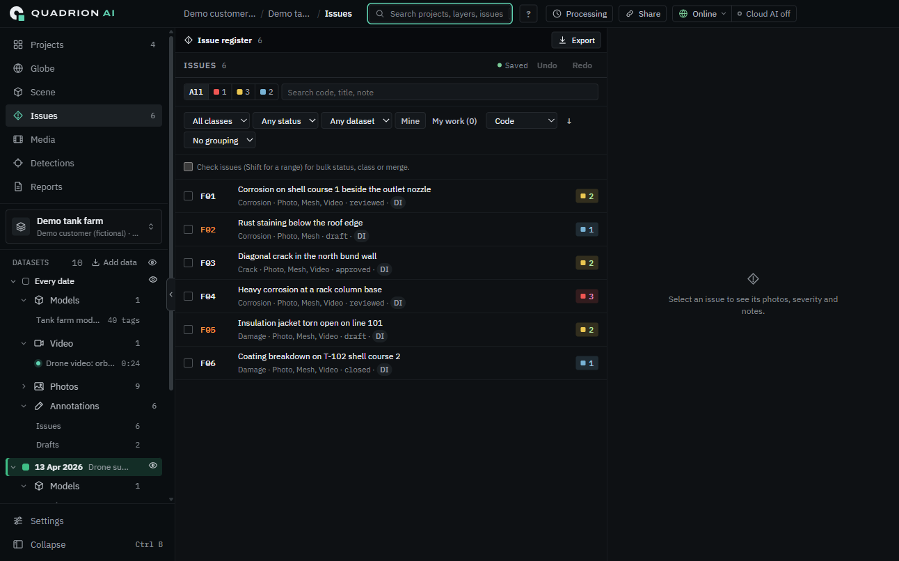
- Annotate on the frame